Randonnée V.T.T. La Flèche - Nico tout seul très beau temps  - Photo

Nico tout seul très beau temps

 nicoben72
nicoben72

Utilisateur

© OpenStreetMap contributors
Longueur
Longueur
29 km
Altitude max
Altitude max
74 m
Dénivelé positif
Dénivelé positif
221 m
Km-Effort
Km-Effort  
32 km
Altitude min
Altitude min
25 m
Dénivelé négatif
Dénivelé négatif
221 m
Boucle
Boucle
Oui
Date de création :
2021-03-29 09:21:04.0
Dernière modification :
2021-03-29 11:02:23.406

(0 Avis)

V.T.T.
V.T.T.
1h35
Difficulté : Inconnu

Scannez ce code QR pour ouvrir la randonnée dans l'application SityTrail

Application GPS de randonnée GRATUITE

Logo SityTrail SityTrail

IGN / Instituts géographiques

Télécharger SityTrail sur l'App Store Télécharger SityTrail sur Google Play

Logo SityTrail SityTrail World

Le monde est à vous

Télécharger SityTrail sur l'App Store Télécharger SityTrail sur Google Play Télécharger SityTrail sur Huawei AppGallery

À propos

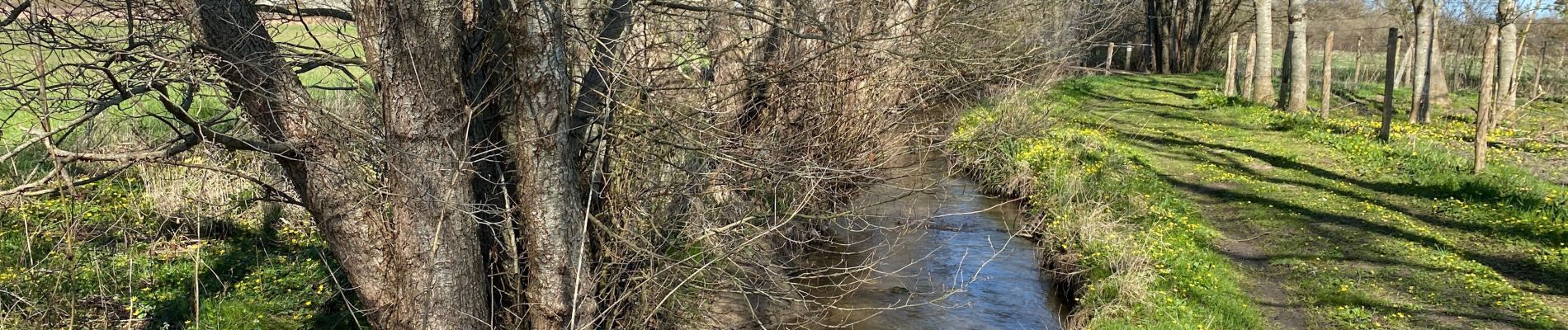
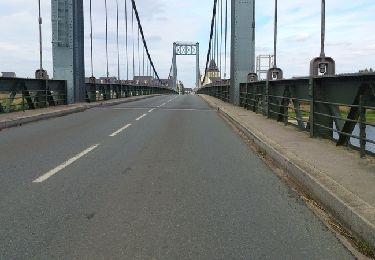
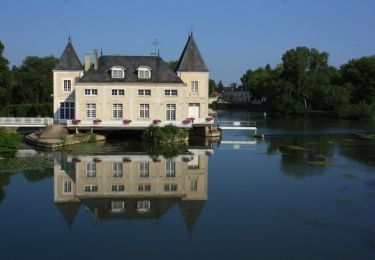
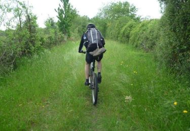
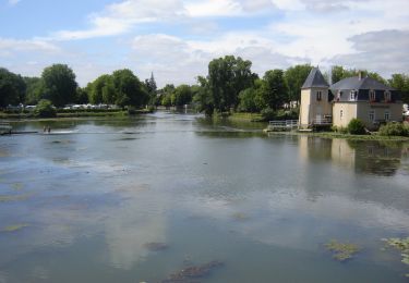
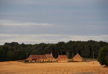
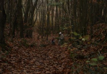
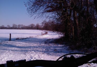
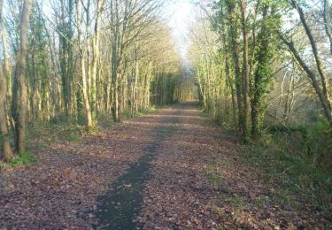
Randonnée V.T.T. de 29 km à découvrir à Pays de la Loire, Sarthe, La Flèche. Cette randonnée est proposée par nicoben72.

Description

Mal aux fesses

Profil altimétrique

Photos

Localisation

Pays :
France
Région :
Pays de la Loire
Département/Province :
Sarthe
Commune :
La Flèche
Localité :
Unknown
Départ:(Dec)
Départ:(UTM)
716046 ; 5284291 (30T) N.

Randonnées à proximité

Randonnée V.T.T. La Flèche - La Flèche Sud - Photo
V.T.T.
tracegps

V.T.T.

Moyen
(2)
La Flèche, Pays de la Loire, Sarthe, France
46 km | 51 km-effort
3h 15min
Oui
Randonnée V.T.T. La Flèche - La Flèche - Saumur par les chemins - Photo
V.T.T.
tracegps

V.T.T.

Moyen
La Flèche, Pays de la Loire, Sarthe, France
88 km | 99 km-effort
5h 0min
Non
Randonnée V.T.T. La Flèche - La Flèche - Grande Boucle Sud Ouest - Photo
V.T.T.
tracegps

V.T.T.

Difficile
La Flèche, Pays de la Loire, Sarthe, France
84 km | 96 km-effort
6h 0min
Oui
Randonnée V.T.T. La Flèche - Tour de la Flèche en 4 Jours - Photo
V.T.T.
tracegps

V.T.T.

Facile
La Flèche, Pays de la Loire, Sarthe, France
163 km | 181 km-effort
16h 0min
Oui
Randonnée V.T.T. La Flèche - La Flèche - Grande Boucle Nord Est - Photo
V.T.T.
tracegps

V.T.T.

Difficile
La Flèche, Pays de la Loire, Sarthe, France
88 km | 101 km-effort
6h 0min
Oui
Randonnée V.T.T. La Flèche - La Flèche Nord Ouest - Photo
V.T.T.
tracegps

V.T.T.

Facile
La Flèche, Pays de la Loire, Sarthe, France
35 km | 39 km-effort
2h 30min
Oui
Randonnée V.T.T. La Flèche - La Flèche Nord - Photo
V.T.T.
tracegps

V.T.T.

Moyen
La Flèche, Pays de la Loire, Sarthe, France
31 km | 35 km-effort
2h 15min
Oui
Randonnée V.T.T. La Flèche - La Fleche - Nord Est - Photo
V.T.T.
tracegps

V.T.T.

Moyen
La Flèche, Pays de la Loire, Sarthe, France
42 km | 48 km-effort
3h 0min
Oui
Randonnée V.T.T. La Flèche - La Flèche - Sud Est - Photo
V.T.T.
tracegps

V.T.T.

Facile
La Flèche, Pays de la Loire, Sarthe, France
41 km | 46 km-effort
2h 30min
Oui


Fermer
Mes abonnements